UNITED STATES
Wind River High Route
Wyoming’s Wind River High Route is considered one of the finest, non-technical, end-to-end alpine journeys in the United States. Staying above 10,000 feet for 80 miles, this mostly trail-less track takes the hiker on rugged class 3/4 scrambles for 20,000 feet of cumulative gain through spectacular granite towers, wildflower-covered meadows and past hundreds of glacier-fed lakes and streams.
We used Alan Dixon’s High Route, changing up one section below Alpine Pass and walking counter-clockwise around the final lake to avoid a Class 4 scramble.
Here is the GPX track.
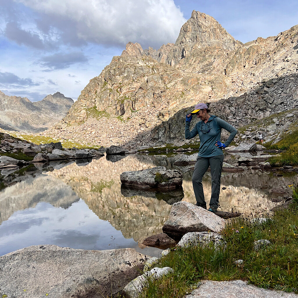
WRHR, day 1: Green River Lakes to Peak Lake, 18 miles
It’s beautiful walking along azure lakes under the gaze of the Square Top, then 2,400 feet up Cube Pass.
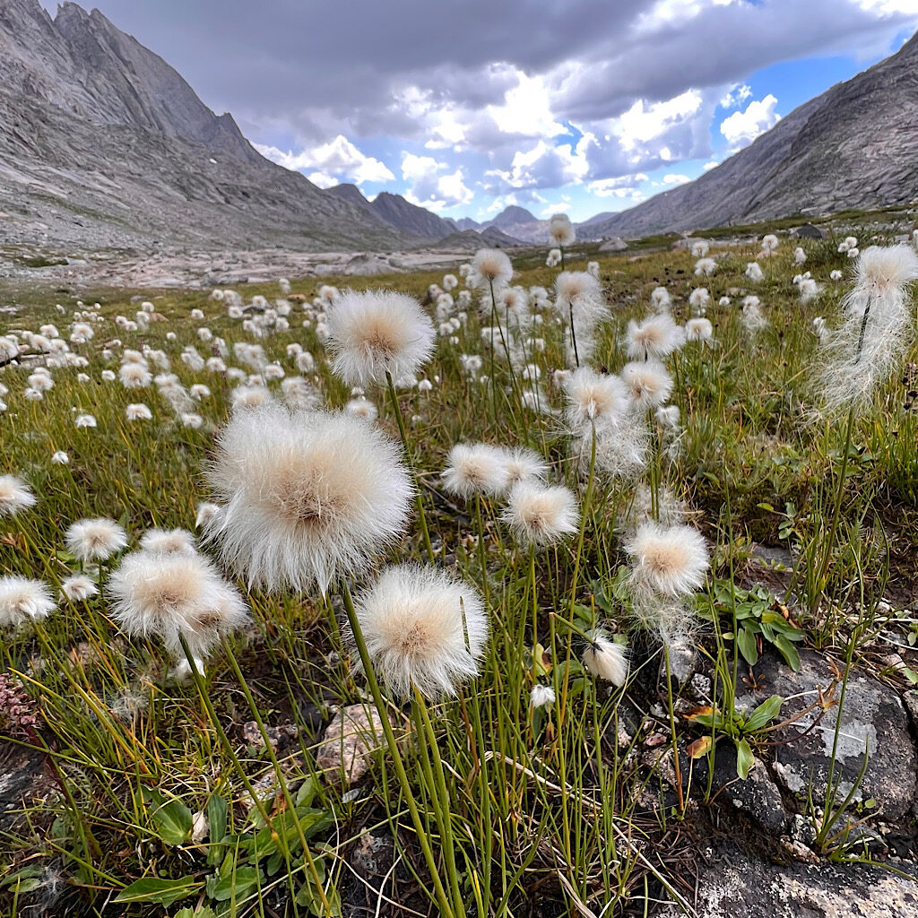
WRHR, day 2: Peak Lake to Indian Basin: 10 miles
It’s big climbs over Knapsack Col into stunning Titcomb Basin then up towards Indian Pass.
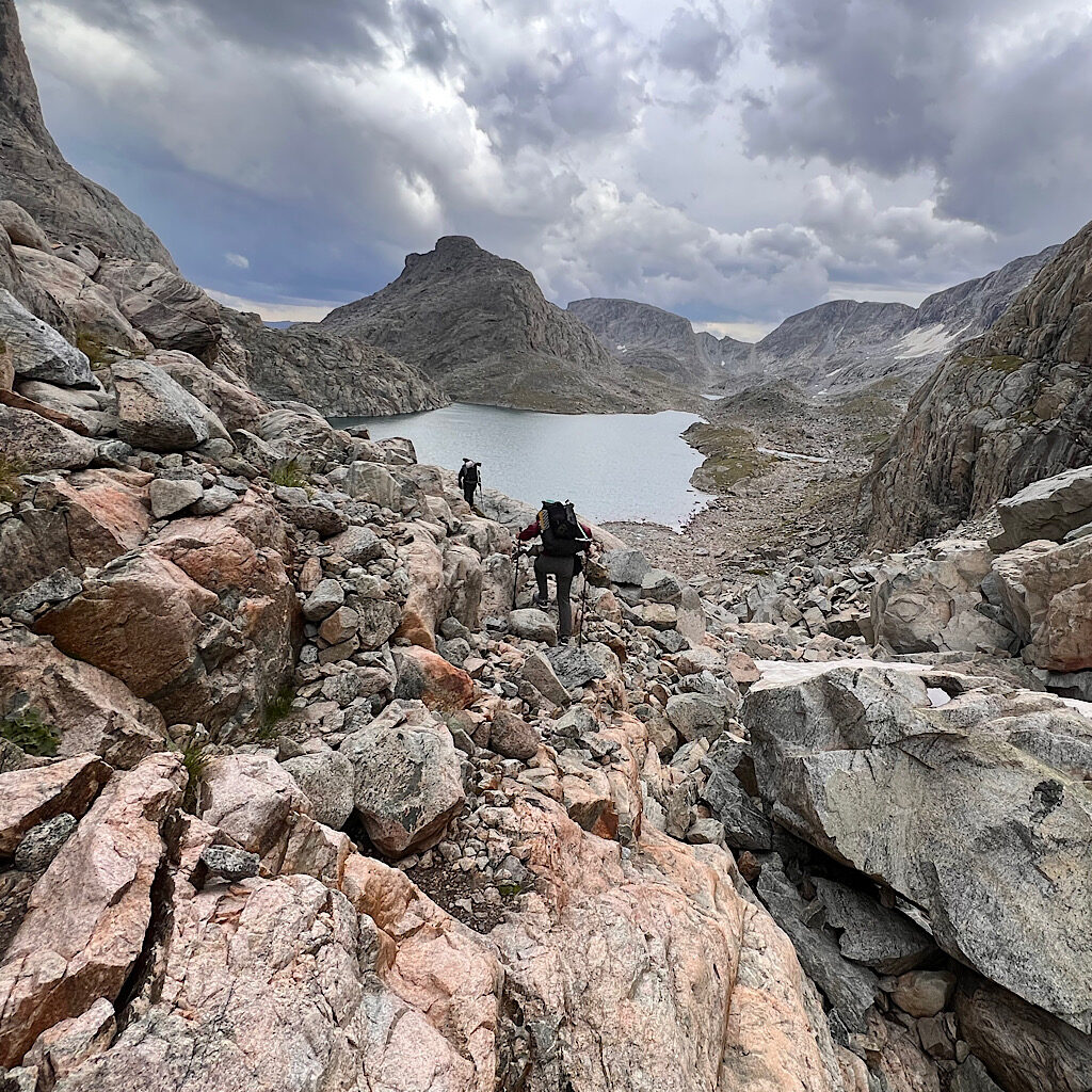
WRHR, day 3: Indian Basin to Alpine Lakes: 6 miles?
The hardest day yet across Knifepoint Glacier, up Alpine Pass and Class 3 scrambling to a magical camp spot.
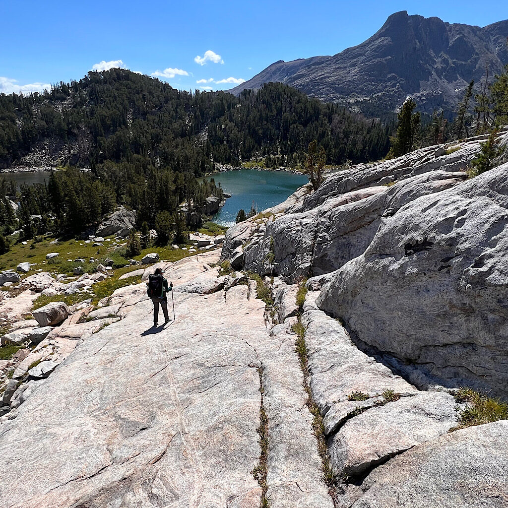
WRHR, day 4: Alpine Lakes to near Hay Pass, 11 miles
It’s a long day beginning with pouring rain, then passes, including Hay, and lakes in forest and above treeline.
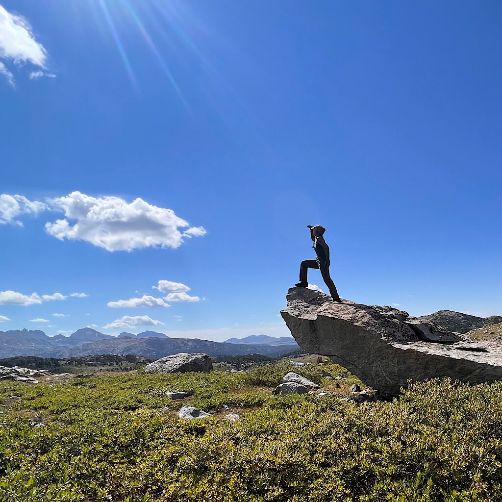
WRHR day 5, near Hay Pass to Bonneville Lakes: 13 miles
Bog, rock ramps, gullies, talus and bushwhacking take us over one of the most stunning passes yet.
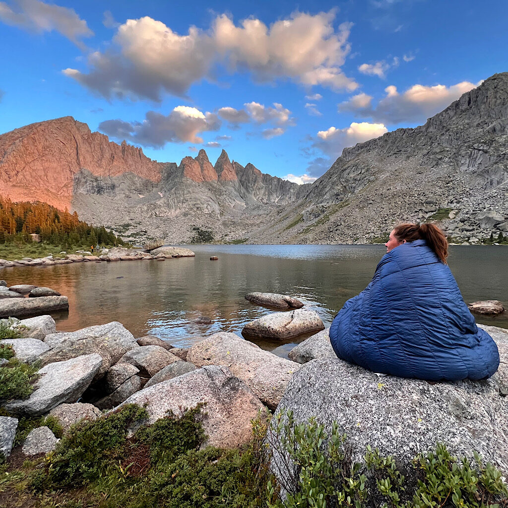
WRHR, day 6, Bonneville Lakes to Shadow Lake: 13 miles
It’s a big pass with big talus in wild wind to a magical camp behind the towers.
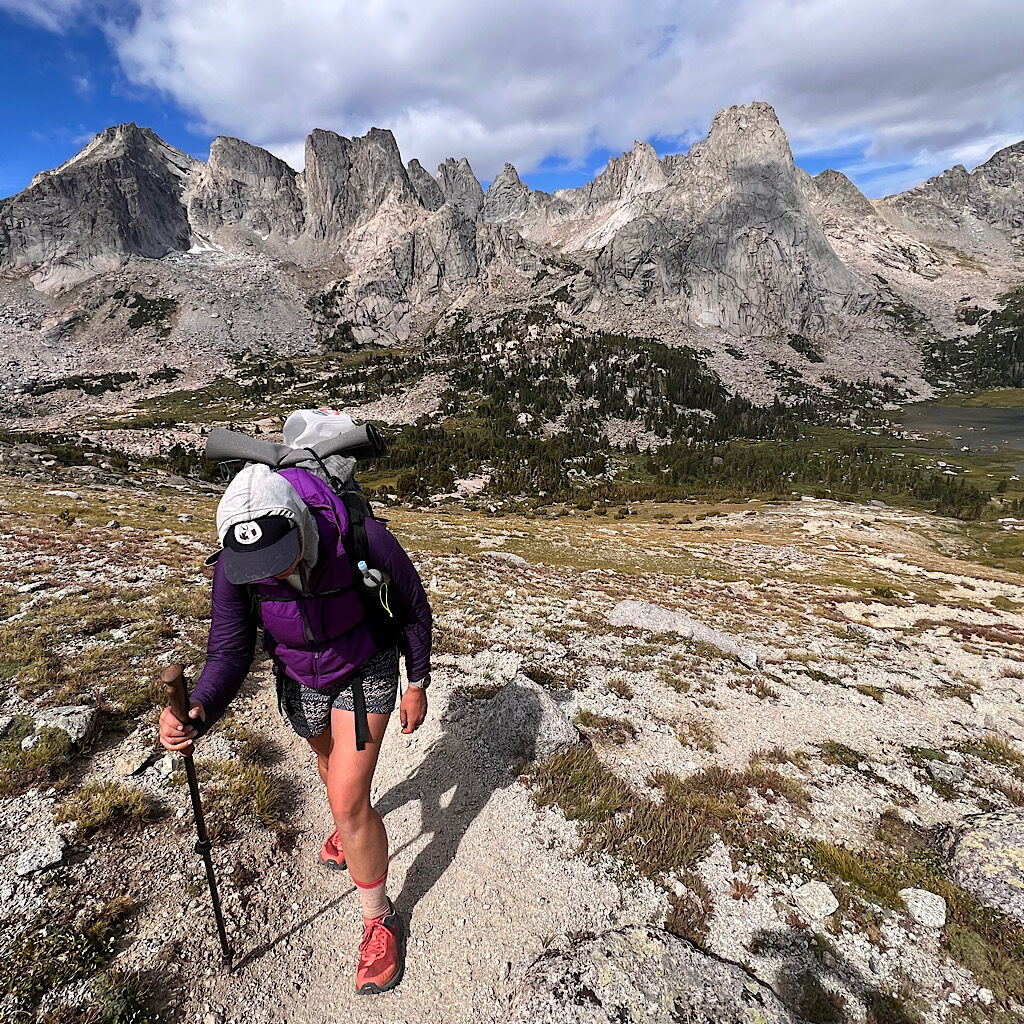
WRHR, day 7, Shadow Lake to Big Sandy Campground: 15 miles
The final day takes us over Texas Pass into the astounding Cirque of the Towers.

