
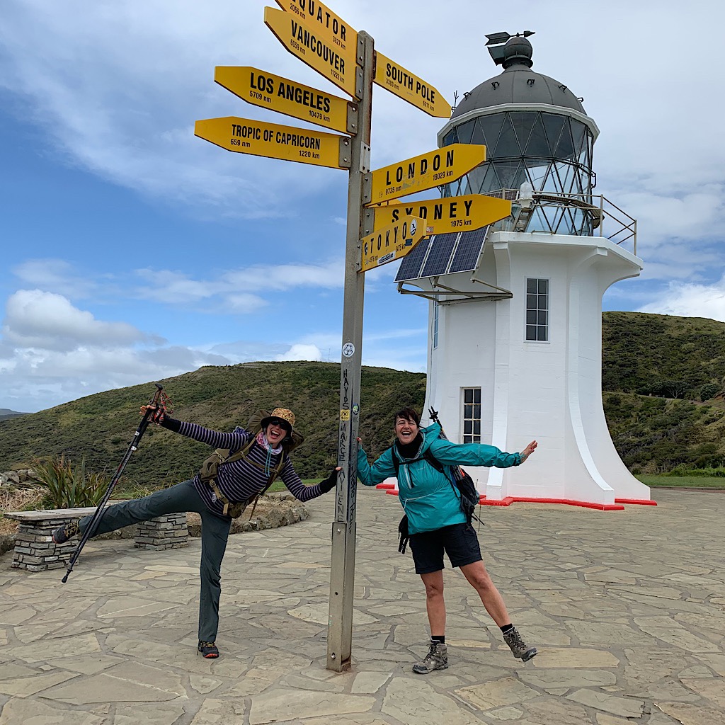
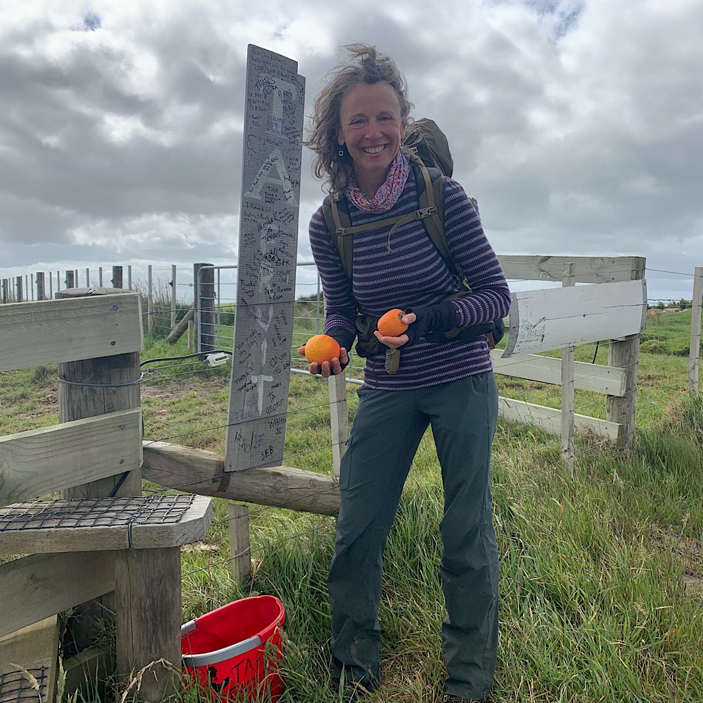
TA Day 1, Cape Reinga to Twilight Camp – 13 km
After 3 flights, and 36 hours of travel, I start the hike, falling asleep to crashing waves at Twilight.
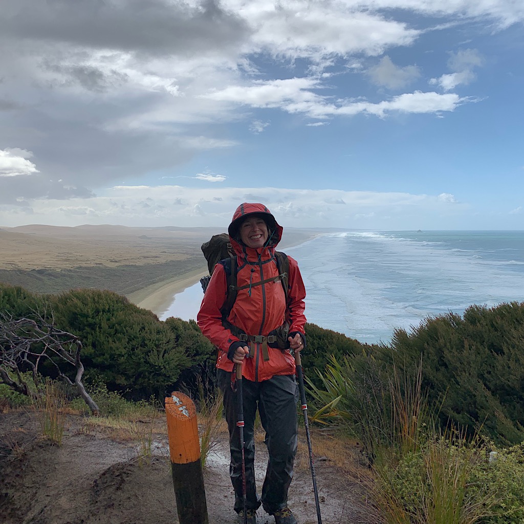
TA Day 2, Twilight Camp to Maunganui Bluff – 28 km
Following the stairs down from Scott Point, the Blissful Hiker begins the Ninety Mile Beach.
TA Day 3, Maunganui Bluff to Utea Park – 30 km
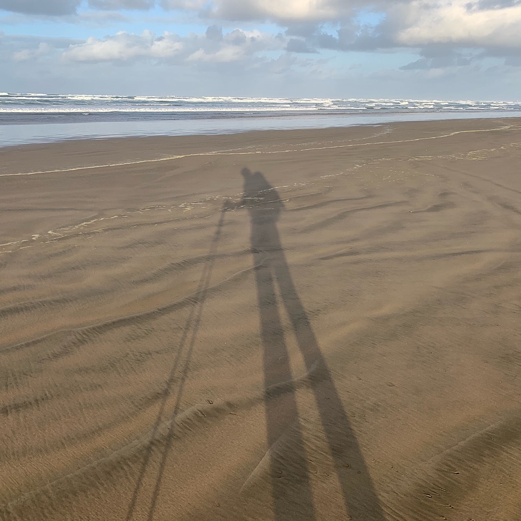
Awakened by wild horses, the Blissful Hiker heads back onto the long, lonely Ninety Mile Beach.
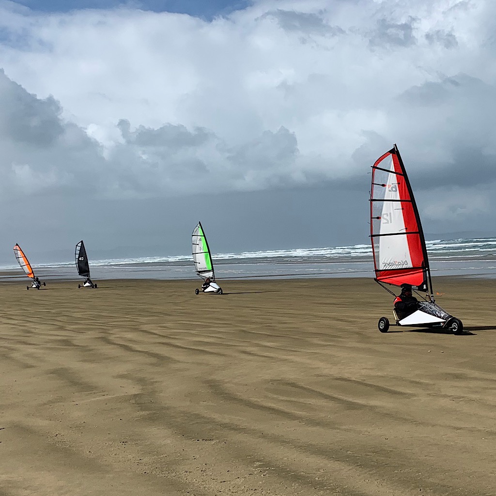
TA Day 4, Utea Park to Ahipara, 32 km
On the final day walking the Ninety Mile Beach, the wind changes and brings blow carts my way.
TA Day 5, Takahue Saddle Road to below Umaumakaroo – 16 km
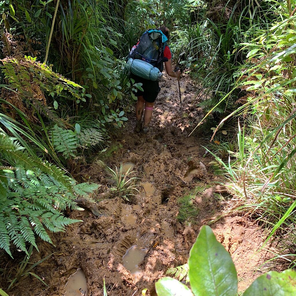
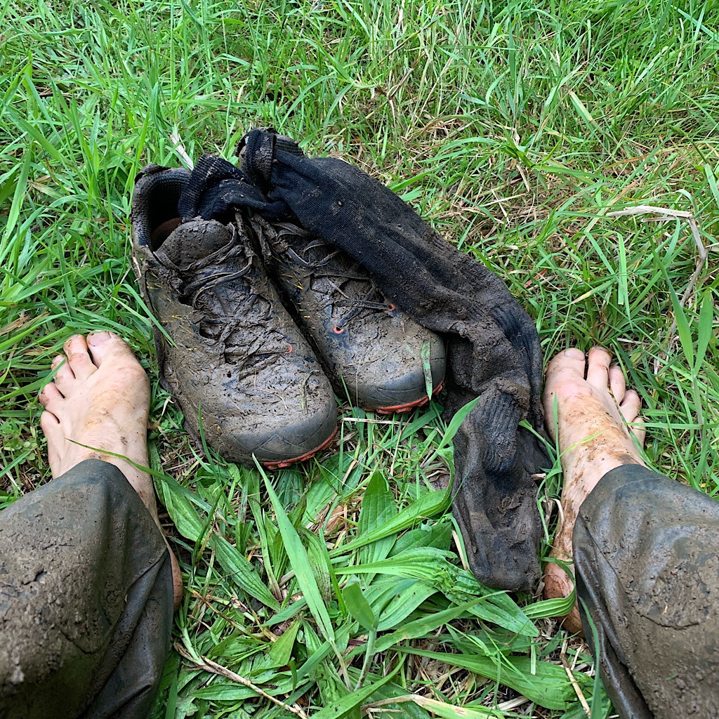
Tuis, bell birds, roots and mud – the deepest I’ve seen in my entire life – in the Raetea Forest.
TA Day 6, Umaumokaroo to Apple Dam – 26 km
The mud continues until the bush abruptly ends at rolling hills headed toward more bush.
TA Day 7, Apple Dam to Puketi Forest camp – 36 km
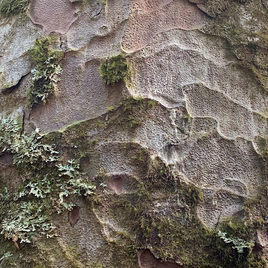
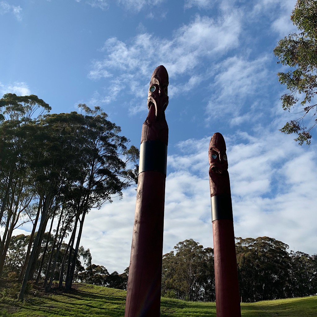
A long walk through the Puketi forest takes me past manuka honey bees and a kauri forest.
TA Day 8, Puketi Forest to Kerikeri – 27 km
It’s a long walk mostly on easy forest track and farm fields to Rainbow Falls and Kerikeri.

TA Day 9 – zero day, Kaeo
I take my first “zero day” near Kaeo and eat mussels, oysters and take a huge nap.
TA audio narrative: the start
The start of the Te Araroa is a trial of sand, wind, rain and mud, but it’s worth it.
TA Day 10, Kerikeri to Paihia – 24 km
It’s “easy tramping” all day to the Waitangi Treaty Grounds and finally Pahia.
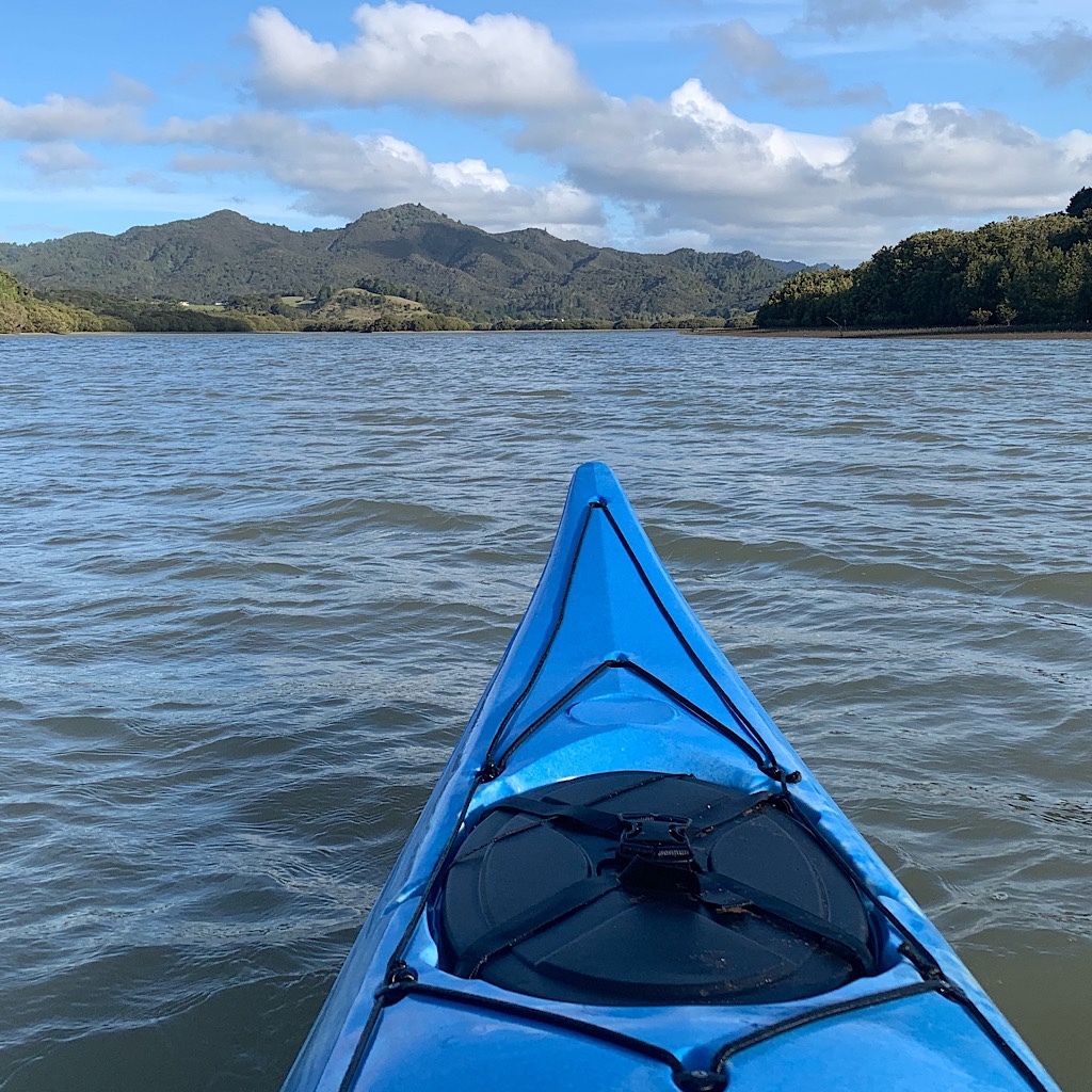
TA Day 11, Paihia to Waikare – 13 km + 3 km
The trail is on water as I kayak up the beautiful Waikare Estuary.