
TA Day 29, Mercer to Rangariri – 27 km
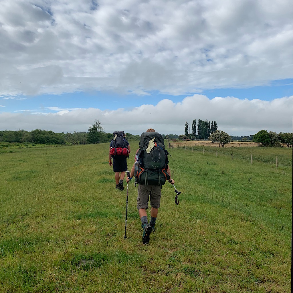
The trail is through soggy bottomland and over electric fenced farmland to Rangariri.
TA Day 30, Rangiriri to below Hakamarita summit – 29 km
It’s easy tramping to Huntly and a beautiful sculpture garden, then up steeply into the Hakarimata Range.
TA Day 31, Hakarimata to Hamilton – 28 km
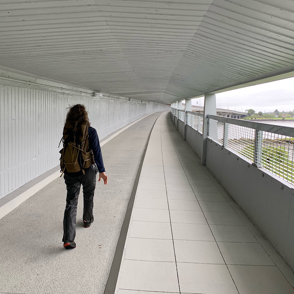
The Hakarimatas is a muddy bushwalk to beautiful stairs, the Te Awa Cycleway and Hamilton.

TA Day 32, Hamilton to Whatawhata – 10 km
It’s farms, the cool Taitua Arboretum and finally Whatawhata, where the Backyard Bar allows camping.
TA Day 33, Whatawhata to Pahautea hut – 33 km
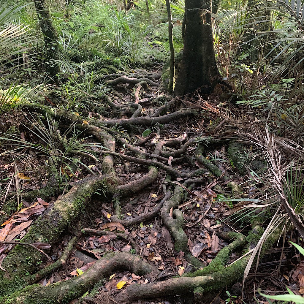
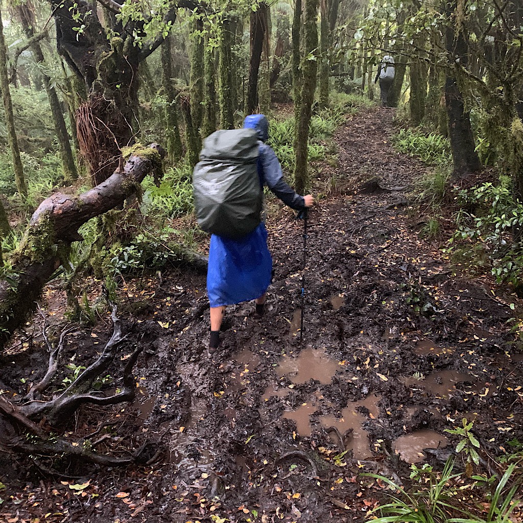
The trail is through swamp up into the Kapamahungas and muddy, moss covered Tawa on Mount Pirongia.
TA Day 34, Pahautea hut to Kaimango Road – 18 km
I’m rescued by a trail angel after a 5-hour hike from the hut down Mount Pirongia in deep mud.
TA Day 35, Kaimango Road to Waitomo – 29 km
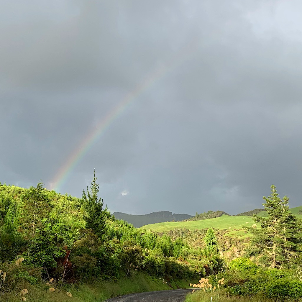
Under threatening thunder, the walk is in farmland, muddy bush and across a swollen stream.
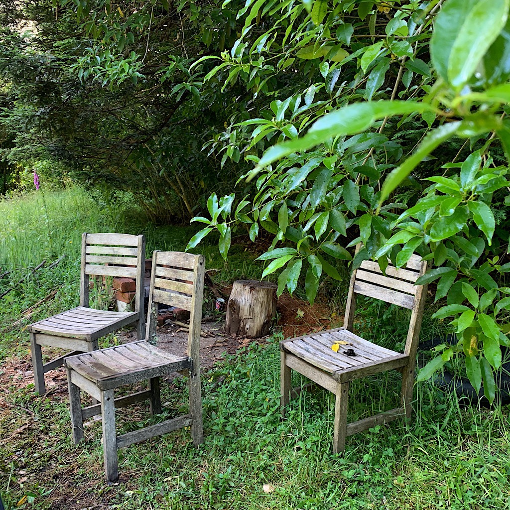
TA Day 36, ‘zero day’ Waitomo
Waitomo is the perfect day for a “zero mile” rest day at the Hamilton Tomo Hut.
TA audio narrative: a ‘walking holiday’
This long thru-hike is less a “walking holiday” than a full-time job.
TA Day 37, Waitomo to Mangaokewa Reserve – 31 km
Wet farmland and the glorious Pehitawa forest is followed by a river sidling nightmare.
TA Day 38, Mangaokewa Reserve to Mangaokewa Road – 17 km
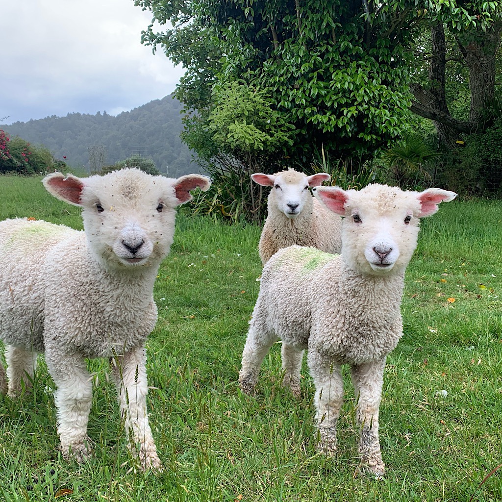
Out of Mangaokewa Reserve, Blissful is picked up by trail angels and learns how a farm works.
TA Day 39, Mangaokewa Road to Ngaherenga campsite – 33 km
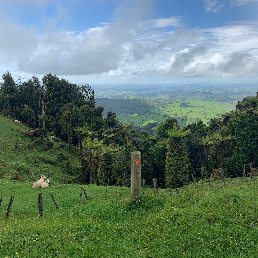
It’s a long road walk through karst landscape including cone-shaped hills in brilliant green.